
What is a GRD file?
A GRD file, also known as a Grid file, is a type of file format that is commonly used to represent geographical or spatial data. GRD files contain information about elevation or grid datasets, which are used in various fields such as geology, cartography, and environmental sciences.
GRD files are created by software applications that generate grid data, such as Geographic Information Systems (GIS) software or specialized mapping tools. These files store gridded data in a structured format by dividing a geographical area into a grid of cells, each containing a specific value, usually representing elevation or another attribute.
The structure of a GRD file consists of header information and data values. The header provides details about the grid, including its dimensions, coordinate system, and cell size. The data values represent the properties or attributes associated with each cell in the grid.
One common use of GRD files is in the creation of digital elevation models (DEMs). DEMs are widely used in various applications such as terrain analysis, 3D modeling, and flood risk assessment. GRD files store elevation data for each cell in a grid, allowing terrain features to be accurately represented and analyzed.
GRD files are often compatible with specific software applications or GIS platforms. They can be opened, edited, and analyzed using software tools designed for working with spatial data. Various file formats can be used to create GRD files, including ASCII, binary, or proprietary formats specific to certain software.
It’s important to note that while GRD files are primarily used for representing elevation data, they can also store other types of spatial information such as temperature, precipitation, or soil composition. The specific content and purpose of a GRD file may vary depending on the application or domain in which it is used.
How to Open a GRD File on Windows
Opening a GRD file on Windows is a relatively straightforward process. There are several software applications available that are capable of handling GRD files. Here are a few methods to open a GRD file on Windows:
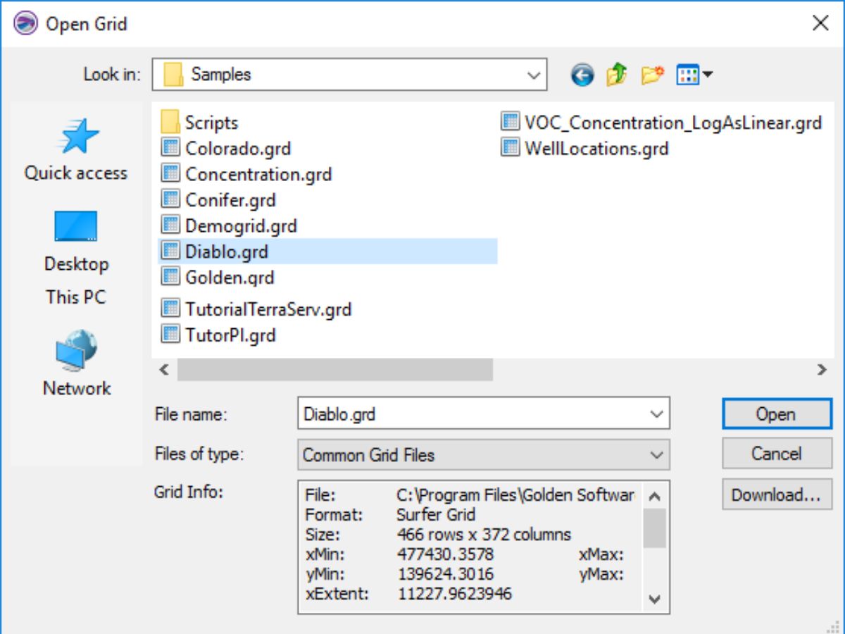
- Using Geographic Information Systems (GIS) Software: The most common way to open a GRD file on Windows is by using GIS software such as ArcGIS, QGIS, or Global Mapper. These software applications are designed for working with spatial data and provide comprehensive tools for viewing, analyzing, and manipulating GRD files. Simply launch the GIS software, navigate to the File menu, and select the option to open the GRD file.
- Using Text Editors: If the GRD file is in ASCII format, it can be opened with a basic text editor, such as Notepad or Notepad++. While this method may not provide advanced visualization capabilities, it allows you to view the content of the file in a more accessible format.
- Using Conversion Tools: If you have a specific purpose for opening the GRD file, you can use conversion tools to convert it to a more commonly supported format. For example, you can convert the GRD file to a GeoTIFF or ASCII format using conversion software like GDAL or SAGA GIS. Once converted, you can open the file using software that supports the new format.
It’s important to note that the availability of software applications to open GRD files may vary depending on the specific file format and the intended use of the data. Additionally, some GRD files may require specialized software tools or plugins to open, so it’s recommended to consult the documentation or resources provided with the GRD file.
How to Open a GRD File on Mac
If you have a GRD file and you’re using a Mac, there are various methods you can use to open and access its content. Here are a few approaches you can try:
- Using Geographic Information Systems (GIS) Software: One of the most common ways to open a GRD file on a Mac is by using GIS software. Applications like ArcGIS, QGIS, and GRASS GIS are compatible with Mac and offer a range of tools for working with spatial data. Launch the GIS software, navigate to the File menu, and select the option to open the GRD file. From there, you can explore and analyze the data within the application.
- Using Conversion Tools: In case you encounter compatibility issues with GIS software, you can utilize conversion tools to convert the GRD file into a more widely supported format. Programs like GDAL, SAGA GIS, or R can assist in converting the GRD file to formats like GeoTIFF or ASCII. Once converted, you can use software compatible with the new format to open and work with the data on your Mac.
- Using Text Editors: If the GRD file is in ASCII format, you can use a basic text editor like TextEdit or Sublime Text to view its contents on your Mac. While this method may not provide advanced visualization features, it allows you to inspect the file’s data in a more accessible format.
It’s worth noting that the availability of software for opening GRD files may differ depending on the specific format and your specific requirements. Some GRD files may require specialized software or plugins to open, so it’s advisable to refer to the documentation or resources accompanying the GRD file for further guidance.
How to Open a GRD File on Linux
If you’re using a Linux operating system and need to open a GRD file, there are various methods available to access and work with the file’s content. Here are a few approaches you can try:
- Using Geographic Information Systems (GIS) Software: Linux has a range of GIS software options that can handle GRD files. Programs like QGIS, GRASS GIS, and SAGA GIS are popular choices. Launch the GIS software, go to the File menu, and select the option to open the GRD file. This will allow you to view, analyze, and manipulate the data within the software.
- Using Conversion Tools: If you encounter compatibility issues or need to convert the GRD file to a different format, you can utilize conversion tools available on Linux. Programs like GDAL, SAGA GIS, or R provide functionalities to convert GRD files into more widely supported formats such as GeoTIFF or ASCII. Once converted, you can then open the file with software compatible with the new format.
- Using Text Editors: If the GRD file is in ASCII format, you can use a text editor like Vim, Nano, or GEdit to view the content of the file on Linux. Although this method may not provide advanced visualization features, it allows you to inspect the raw data within the file in a more accessible format.
It’s important to note that the availability of software applications to open GRD files may depend on specific file formats and the intended use of the data. Additionally, some GRD files may require specialized software tools or plugins to open, so it’s recommended to consult the documentation or resources accompanying the GRD file for further guidance or additional software options.
Common Programs that Can Open GRD Files
GRD files can be opened and accessed by various software applications that are specifically designed to work with spatial data. Here are some common programs that can open GRD files:
- ArcGIS: ArcGIS is a popular Geographic Information System (GIS) software developed by Esri. It provides a comprehensive set of tools for working with spatial data, including the ability to open and analyze GRD files.
- QGIS: QGIS is a free and open-source GIS software that is compatible with multiple operating systems. It supports a wide range of data formats, including GRD files, and provides a user-friendly interface for exploring and manipulating spatial data.
- Global Mapper: Global Mapper is a powerful GIS software that can handle GRD files and many other spatial data formats. It offers advanced visualization, analysis, and editing capabilities, making it a popular choice among GIS professionals.
- GRASS GIS: GRASS GIS is an open-source software that specializes in geospatial data analysis and modeling. It supports a wide range of file formats, including GRD files, and provides a comprehensive set of tools for working with spatial data.
- GDAL: GDAL (Geospatial Data Abstraction Library) is a widely used command-line tool for converting, transforming, and processing geospatial data. It supports various file formats, including GRD, and can be used to open and manipulate GRD files.
It’s worth noting that the availability and compatibility of software programs may vary depending on the specific file format and the operating system you are using. Additionally, some GRD files may require specialized software tools or plugins, so it’s advisable to check the requirements or accompanying documentation for the GRD file you intend to open.
How to Convert a GRD File to a Different Format
Converting a GRD file to a different format can be useful when you need to work with the data in software that supports a specific format or when you want to make the data accessible to others who may not have the necessary software to open GRD files. Here are the steps to convert a GRD file to a different format:
- Identify the Target Format: Determine the specific file format you want to convert the GRD file to. Common formats include GeoTIFF, ASCII, or a proprietary format supported by your preferred software.
- Choose Conversion Software: Select a conversion software that is capable of converting GRD files to the desired format. Some popular conversion tools include GDAL, SAGA GIS, or specialized GIS software like ArcGIS or QGIS.
- Launch the Conversion Software: Open the conversion software on your computer and navigate to the file conversion or import/export feature. The exact steps may vary depending on the software you are using.
- Select the GRD File: In the conversion software, locate the option to choose the input file or select the GRD file you want to convert. Browse your computer’s file system and select the GRD file you wish to convert.
- Choose the Output Format: In the conversion software, specify the output format you want to convert the GRD file to. This may involve selecting a format from a dropdown menu or entering the format manually.
- Configure Conversion Settings: Depending on the software, you may have the option to customize the conversion settings, such as defining coordinate systems, selecting data encoding options, or setting resolution parameters. Configure these settings according to your needs.
- Start the Conversion: Initiate the conversion process by clicking on the convert or export button. The software will then convert the GRD file to the specified format and generate the output file in the destination location you specify.
After the conversion is complete, you can open and work with the converted file using software that supports the new format you have chosen. It’s important to note that the availability of conversion software and the specific conversion procedures may vary depending on the software you are using and the formats involved. Refer to the documentation or resources provided with the conversion software for specific instructions.
Troubleshooting Common Issues when Opening GRD Files
While opening GRD files is typically a straightforward process, there are a few common issues that users may encounter. Here are some troubleshooting steps to address these issues:
- Incompatible Software: Ensure that you are using software that is compatible with GRD files. Geographic Information Systems (GIS) software like ArcGIS, QGIS, or Global Mapper are commonly used for opening and analyzing GRD files.
- Incorrect File Format: Verify that you are attempting to open the GRD file in the correct format. Different software applications may support different GRD file formats, such as ASCII, binary, or proprietary formats specific to certain software.
- Corrupted GRD File: If you encounter issues when opening a GRD file, it may be corrupted. Try opening another copy of the file, if available, or obtain a fresh copy from the original source. If the issue persists, the file may be irreparably damaged.
- Unsupported Version: Some software applications may only support specific versions of GRD files. Ensure that you are using a version of the software that is compatible with the GRD file you are attempting to open.
- Lack of Required Plugins or Extensions: Certain GRD files may require specialized plugins, extensions, or add-ons to be installed in the software in order to open them correctly. Check if any specific requirements are needed and install the necessary plugins or extensions accordingly.
- Insufficient System Resources: If you experience performance issues or errors when opening GRD files, ensure that your computer meets the minimum system requirements for the software you are using. Insufficient RAM, CPU power, or disk space can impact the software’s ability to open and process large GRD files.
- Encoding Issues: If the GRD file contains non-standard characters or specific encoding, it may result in display or reading problems. Try changing the encoding settings in the software to match the encoding used in the GRD file.
If you are still encountering issues when opening GRD files after attempting the above troubleshooting steps, it may be beneficial to consult the software documentation, online forums, or reach out to technical support for further assistance. They can provide specific guidance based on the software you are using and the nature of the issue you are facing.
Final Thoughts and Additional Resources
Opening and working with GRD files can be a valuable task for professionals in various industries, such as geology, cartography, and environmental sciences. Whether you need to analyze elevation data, create digital terrain models, or perform spatial analysis, understanding how to open and manipulate GRD files is essential. By utilizing the right software and following the correct procedures, you can unlock the valuable information contained within these files.
If you encounter any difficulties while opening or working with GRD files, it’s important to consult the documentation or resources provided with the specific software you are using. Additionally, online forums and communities dedicated to GIS and spatial data analysis can be excellent sources of support and guidance.
Here are a few additional resources that can help you further explore GRD files and expand your knowledge of working with spatial data:
- ESRI GIS Dictionary: Provides definitions and explanations of commonly used GIS terms, including GRD files.
https://support.esri.com/en/other-resources/gis-dictionary - QGIS Documentation: User-friendly documentation for QGIS, a popular open-source GIS software that supports GRD files.
https://docs.qgis.org/3.16/en/docs/ - GDAL Documentation: Comprehensive documentation for GDAL, a powerful geospatial data processing library that includes tools for working with GRD files.
https://gdal.org/documentation.html - Stack Exchange GIS: An active community where you can ask questions and seek advice from GIS experts and enthusiasts.
https://gis.stackexchange.com/
By utilizing these resources and the knowledge gained from this guide, you’ll be equipped to open, explore, and analyze GRD files as part of your spatial data analysis workflows.