
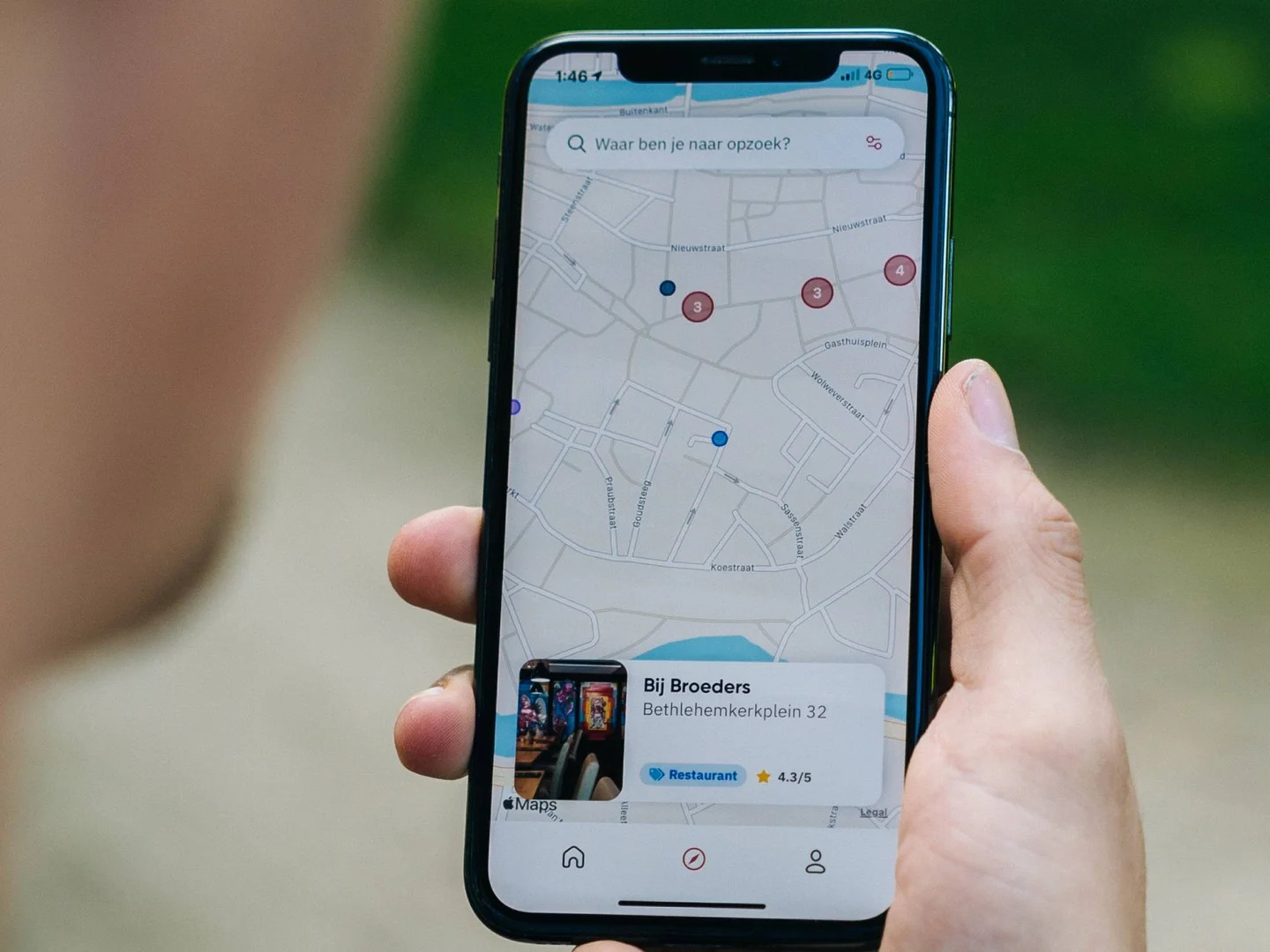
More Detailed Maps
With the latest update to Apple Maps, users can now enjoy more detailed and accurate maps than ever before. Apple has put a significant emphasis on improving the accuracy of their map data, making sure that users can trust the information they find. Whether you’re looking for directions to a new restaurant or trying to find your way through a busy city, Apple Maps has got you covered.
One of the standout features of the updated maps is the enhanced road coverage. Apple has been working diligently to expand their mapping data, ensuring that even the most remote areas are accurately represented. This means that when you’re exploring a new location, you can trust that the roads will be correctly labeled and that you won’t encounter any surprises along the way.
In addition to improved road coverage, Apple Maps now also includes more detailed land features. This means that parks, landmarks, and other points of interest are now marked with greater precision. Whether you’re planning a hike in a national park or searching for a popular tourist attraction, you’ll be able to find it easily with the help of Apple Maps.
The update to Apple Maps also brings enhanced 3D imagery to the app. This means that when you’re navigating a city, you’ll be able to see detailed representations of buildings and landmarks in a three-dimensional view. This not only adds a visual appeal to the app but also makes it easier to identify your surroundings and navigate through unfamiliar areas.
Furthermore, Apple Maps now provides more up-to-date information on traffic conditions. This allows users to make more informed decisions about their travel routes and avoid any potential delays. Whether you’re driving to work or planning a road trip, you can rely on Apple Maps to provide you with real-time traffic updates to help you reach your destination as efficiently as possible.
Indoor Maps
The latest Apple Maps update brings a game-changing feature known as Indoor Maps, which revolutionizes the way we navigate within buildings. Gone are the days of getting lost in shopping malls or struggling to find specific stores in airports. With Indoor Maps, you can easily explore and find your way through various buildings, making your indoor navigation experience a breeze.
From shopping centers to airports, stadiums to museums, Indoor Maps offers detailed floor plans for a wide range of indoor locations. Simply open the Apple Maps app, zoom in on the building you’re interested in, and you’ll see a floor plan with clear indications of stores, amenities, and other points of interest. You can even search for specific shops or categories, making it easier than ever to locate exactly what you’re looking for.
Not only does Indoor Maps help you find your way, but it also provides additional information about each venue. You can view individual store or restaurant details, including hours of operation, contact information, and even photos. This feature allows you to plan your visit in advance and make informed decisions about where to go and what to do.
Furthermore, Indoor Maps includes helpful features like indoor positioning, which uses Bluetooth and Wi-Fi signals to pinpoint your location within the building. This can be particularly useful in large venues where it’s easy to get disoriented. With real-time positioning, you’ll always know exactly where you are and how to get to your desired destination.
Indoor Maps also offers a seamless integration with other Apple services. You can easily add specific stores or locations to your favorites or create a collection of places you want to visit. This feature is incredibly useful for planning a shopping trip or a day out, as you can organize and save all your preferred locations in one convenient place.
Overall, the addition of Indoor Maps to Apple Maps enhances the usefulness and versatility of the app. Whether you’re exploring a new shopping mall, navigating a busy airport, or discovering the layout of a museum, Indoor Maps provides a comprehensive indoor navigation solution that makes finding your way easier and more enjoyable than ever.
Collections
With the latest update to Apple Maps, users now have the ability to create and organize collections of places they want to visit or have already been to. The Collections feature is designed to make it easier for users to curate and keep track of their favorite locations, making planning and discovery more seamless and enjoyable.
Creating a collection in Apple Maps is simple. When you come across a place you’re interested in, whether it’s a restaurant, museum, or park, you can add it to a specific collection or create a new one. This allows you to categorize and group places based on your preferences or upcoming plans. For example, you can create a collection for your favorite coffee shops, a collection for must-see landmarks when traveling, or a collection of places recommended by friends.
Not only can you add places to your collections, but you can also add notes and custom labels to each location. This makes it easier to remember specific details or personal recommendations associated with each place. Whether it’s a note about a certain dish you want to try at a restaurant or a reminder to visit a particular exhibit at a museum, you can keep all your important information organized within the collections.
Furthermore, the Collections feature in Apple Maps integrates seamlessly with other Apple services. You can easily share your collections with friends, family, or travel companions, allowing them to access and explore your curated list of places. This feature is particularly useful when planning trips or sharing recommendations, as you can collaborate and exchange ideas within the app itself.
What sets Apple Maps Collections apart is its synchronization across all your Apple devices. Whether you’re using your iPhone, iPad, or Mac, your collections will be readily accessible and up-to-date on all your devices. This ensures that you can seamlessly switch between devices and continue planning or exploring without missing a beat.
Overall, the Collections feature in Apple Maps enhances the user experience by providing a convenient and personalized way to organize and save places of interest. Whether you’re an avid traveler, a food enthusiast, or simply someone who wants to keep track of their favorite local spots, Collections makes it effortless to plan, discover, and share your favorite places with ease.
Guides
A standout feature of the latest Apple Maps update is the introduction of Guides. With Guides, users now have access to curated collections of recommended places and experiences, created by trusted sources and experts. This feature transforms Apple Maps into a go-to resource for discovering the best attractions, restaurants, and more in various cities.
Guides are designed to offer insider knowledge and expert recommendations. Whether you’re planning a weekend getaway or exploring your own city, Guides provide valuable insights and suggestions to enhance your overall experience. From hidden gems to popular landmarks, each guide offers a handpicked selection of places that showcase the unique charm and character of a location.
One of the key advantages of Guides is that they are created by reputable sources, including trusted publishers, experts, and even local businesses. This ensures that the information provided is reliable and accurate. By leveraging the expertise of these sources, Apple Maps users can rest assured that they’re accessing high-quality recommendations, resulting in more memorable and satisfying experiences.
Accessing Guides in Apple Maps is straightforward. Simply open the app, go to the Explore tab, and you’ll find a curated list of available guides for your location. Each guide includes a brief description and a collection of handpicked places to visit. You can explore categories such as food and drink, outdoor activities, arts and culture, and more. With just a few taps, you can delve into a guide and start discovering the best that a city has to offer.
What’s more, Guides in Apple Maps are dynamic and regularly updated. This means that you’ll always find fresh content and new recommendations to explore. Whether you’re a regular user or a first-time visitor, Guides provide a reliable and up-to-date resource for discovering the best places in a city.
Furthermore, Guides can be easily shared with friends, family, or fellow travelers. If you come across a guide that you think someone else would enjoy, you can send it to them through various communication channels. This makes it easy to plan trips together or simply share recommendations with others, fostering a sense of community and the joy of discovery.
Look Around
The latest Apple Maps update introduces an exciting feature called Look Around, which provides a stunning street-level view of selected cities. With Look Around, you can virtually explore and navigate through a location, getting a realistic and immersive experience that helps you better understand and navigate unfamiliar areas.
Look Around utilizes high-resolution imagery and advanced mapping technology, allowing users to virtually stroll through streets and explore different neighborhoods. This feature provides a more engaging and interactive way to discover new places and plan your routes. Whether you’re scoping out a potential travel destination or just exploring a new city, Look Around offers a unique perspective to help you get a feel for the location.
Using Look Around is simple. When exploring a supported city, you can see if Look Around is available by looking for the Look Around icon on the map. Tapping on the icon will seamlessly transition you to the street-level view. Once in Look Around, you can move around, pan, and zoom to explore the surroundings as if you were physically there.
Not only does Look Around provide a visually stunning experience, but it also offers useful features to enhance your navigation. You can easily spot points of interest, such as restaurants, shops, and landmarks, as they are labeled and clearly visible in the street-level view. This can help you plan your route or determine the proximity of certain places of interest.
Look Around also integrates with other Apple Maps features, such as turn-by-turn navigation. If you’re in Look Around mode and want to navigate to a specific destination, you can seamlessly switch to turn-by-turn directions without losing your immersive street-level view. This ensures that you can smoothly transition from exploring to getting from point A to point B.
Additionally, Look Around is designed with privacy in mind. Apple blurs faces and license plates in the street-level imagery to protect individuals’ privacy. Your personal data and location information remain secure while you explore the world through Look Around.
Currently, Look Around is available in select cities, with more being added over time. Apple continues to expand the coverage, ensuring that more users can enjoy this impressive feature and take advantage of its immersive and practical benefits.
Share ETA
The addition of the Share ETA feature to Apple Maps offers a convenient and efficient way to keep loved ones, colleagues, or friends updated on your estimated time of arrival. Whether you’re heading to a dinner date, a business meeting, or a social gathering, Share ETA ensures that others can track your progress and plan accordingly.
Sharing your ETA with others is easy and seamless. When you’re navigating to a destination using Apple Maps, you can simply tap on the Share ETA button. This allows you to choose the contact or contacts you want to share your estimated time of arrival with. You can send it via Messages, iMessage, or any other messaging app of your choice, allowing your recipients to receive real-time updates on your progress.
The Share ETA feature not only provides peace of mind to those waiting for you, but it also promotes safer driving. Since others know when to expect your arrival, there is less pressure to rush or exceed speed limits. This helps create a more relaxed and stress-free driving experience, enhancing both safety and overall well-being.
Another advantage of Share ETA is its integration with Siri and other Apple services. You can easily ask Siri to share your ETA with a specific contact or use CarPlay to share your ETA hands-free. This allows for improved accessibility and convenience, particularly when you’re on the go or unable to manually interact with your device.
Furthermore, recipients of your shared ETA can track your progress on their own devices using Apple Maps. They will receive real-time updates on your location and estimated time of arrival. This feature is especially helpful in scenarios where timing is crucial, such as picking up a friend from the airport or coordinating logistics for an event.
In addition to sharing your ETA, Apple Maps also offers the ability to disable or stop sharing at any time. If you decide you no longer want to share your ETA or if your plans change, you have full control over the sharing feature. This gives you the flexibility to adapt to unexpected circumstances or adjust your plans as needed.
Real-Time Transit
One of the standout features of the latest Apple Maps update is the addition of real-time transit information. With real-time transit, users can access up-to-date information about public transportation options, making it easier to navigate through cities and plan their journeys efficiently.
Apple Maps now provides real-time data on bus, train, tram, and subway schedules, giving users accurate information on arrival times, delays, and route updates. This feature is incredibly helpful for those who rely on public transportation for their daily commute or for travelers exploring unfamiliar cities.
By incorporating real-time transit information into Apple Maps, users can confidently plan their routes, knowing that they have the most current and reliable data at their fingertips. This helps reduce wait times and minimize any potential disruptions in their travel plans. Whether you need to catch a bus to work or figure out the fastest subway route to a tourist attraction, real-time transit provides valuable insights to streamline your journey.
In addition to real-time schedules, Apple Maps also provides detailed transit directions, including transfer information and walking directions to and from transit stops. This comprehensive guidance ensures that users can navigate through complex transit networks with ease, even if they are unfamiliar with the area.
To further enhance the user experience, Apple Maps offers integration with other transit services. Users can seamlessly switch between Apple Maps and third-party transit apps, allowing for a more streamlined and customized transit experience. This means that you can choose to utilize specific features or services provided by other transit apps while still benefiting from the core functionality of Apple Maps.
Real-time transit in Apple Maps is available in numerous cities worldwide and continues to expand its coverage. Whether you’re in a bustling metropolis or a smaller urban center, you can rely on Apple Maps to provide you with accurate and real-time information about public transportation options.
Overall, the inclusion of real-time transit in Apple Maps elevates the app’s usefulness and solidifies its position as a comprehensive navigation tool. By combining accurate public transportation data with intuitive directions and integration with other transit services, Apple Maps empowers users to navigate cities confidently and efficiently.
Improved Siri Integration
The latest update to Apple Maps brings significant improvements to its integration with Siri, Apple’s voice assistant. By enhancing the Siri integration, Apple has made it even easier for users to navigate and access information using voice commands, providing a more seamless and hands-free experience.
With the improved Siri integration, users can now ask Siri to provide step-by-step directions to a specific destination using Apple Maps. Simply activate Siri and say something like, “Hey Siri, give me directions to the nearest coffee shop.” Siri will then provide you with turn-by-turn directions in real-time, eliminating the need to manually enter the destination into the app.
In addition to directions, Siri can now also provide useful information about nearby points of interest. Users can ask Siri about the closest gas station, restaurant recommendations, or even locations of specific landmarks. Siri leverages the power of Apple Maps to deliver accurate and relevant information based on your location and preferences, allowing for quick and convenient access to local information.
Furthermore, Siri integration extends to navigation while driving. Users can now use Siri to make hands-free requests while on the road, ensuring a safer and more convenient driving experience. You can ask Siri to provide updates on estimated time of arrival, suggest alternative routes, or even find nearby amenities such as gas stations or parking lots.
The improved Siri integration also extends beyond navigation, with Siri being able to perform additional actions within Apple Maps. Users can ask Siri to create reminders for specific locations, add locations to their favorites, or even explore guides and collections available in Apple Maps. This seamless integration makes it effortless to manage your travel plans and access information, all through simple voice commands.
Overall, the improved Siri integration in Apple Maps enhances the overall user experience by offering a convenient and hands-free way to navigate, search for information, and manage travel plans. Whether you’re on the go or simply prefer a more natural and hands-free interaction, Siri integration provides a powerful tool to make your navigation experience smoother and more efficient.
Electric Vehicle Routing
Apple Maps has introduced a game-changing feature for electric vehicle (EV) owners with the addition of electric vehicle routing. This innovative feature provides EV-specific navigation and guidance, taking into account factors such as battery range, charging station locations, and charging times. With electric vehicle routing, Apple Maps aims to make EV ownership more convenient and accessible for users.
When planning a route with Apple Maps, EV owners can now select the EV routing option, which takes into consideration their vehicle’s battery range and available charging infrastructure. Apple Maps will then provide a customized route that includes charging stops along the way to ensure a seamless journey without running out of battery power.
One of the key benefits of electric vehicle routing is the integration of charging station information. Apple Maps has partnered with various charging network providers to include data on charging station locations, types of connectors available, and even real-time availability information at select stations. This allows users to easily find and navigate to nearby charging stations as part of their route.
Moreover, Apple Maps provides users with additional information about charging stations, such as customer reviews, pricing details, and supported payment methods. This comprehensive data helps EV owners make informed decisions about where to charge their vehicles, ensuring a smooth charging experience throughout their journey.
The electric vehicle routing feature also considers charging times to optimize the overall travel time. By factoring in the time needed for charging at each stop along the route, Apple Maps can provide more accurate estimated arrival times and help users plan their schedules accordingly. This ensures that EV owners can efficiently make the most of their travel time while keeping their vehicles powered.
Apple Maps supports a wide range of electric vehicle models, offering tailored routing and charging information based on each vehicle’s specific capabilities. Whether you’re driving a fully electric car, a plug-in hybrid, or any other type of EV, Apple Maps provides customized navigation that takes into account your vehicle’s range limitations and charging needs.
The introduction of electric vehicle routing in Apple Maps highlights the company’s commitment to sustainability and addressing the needs of environmentally conscious users. By supporting EV owners with optimized routes and charging station information, Apple Maps aims to contribute to the wider adoption of electric vehicles and reduce reliance on fossil fuels.
Overall, electric vehicle routing in Apple Maps brings a new level of convenience and confidence for EV owners, making it easier than ever to navigate and plan routes while taking into account the specific requirements of electric vehicles. With accurate charging station information, optimized routes, and consideration of charging times, Apple Maps empowers EV owners to embark on worry-free journeys with their electric vehicles.